Friday 8 September 2023 – Yesterday and today’s walks have largely been along another section of Roman road, so I have collapsed them into a single entry. Apart from anything else, it has given you a rest day, just like the one we have in plan for the day after tomorrow. I hope you’re grateful for that. If you’d like a summary of the route with some photos, you can see a Relive video that covers both days. It’ll take three minutes out of your life, but you might consider that a worthwhile investment of your time.
So: yesterday (Thursday 7th). The Hostal La Codorniz gave us a reasonably comfortable night, for all its other shortcomings. The room design was spectacularly poor. For example:
- The only free electrical socket was placed just above and in the middle of the bed head – hardly the ideal place to plug in, say, a fan to keep the room cool during the night.
- We had to move the room’s chair to be in front of the door to get it out of the way of any nocturnal peregrinations loo-wards.
I hope you get the picture. But we slept OK and there was a typical Meseta breakfast for us at 7am. It’s slightly odd that everywhere in Spain has provided yoghurt for breakfast except in the Meseta region. No matter – toast and/or croissant, in combination with Twining’s finest Earl Grey, courtesy of our diminishing stock, set us up for a short day’s walk. All we had to do was to get some 13km up the road to a(nother) small place called Calzadilla de los Hermanillos.
After leaving Sahagún on modern roads, our route took us on a right fork for the last two-thirds of the day’s walking; where the main route carries straight on, we join another Roman road – the longest stretch of Roman road in Spain, apparently.
First, though, as we walked out of the town, we passed (yet) another mural

and crossed a bridge

(see what I did there?) and passed yet another estimate of how much further we had to go; this one looks a little informal, if I’m honest.

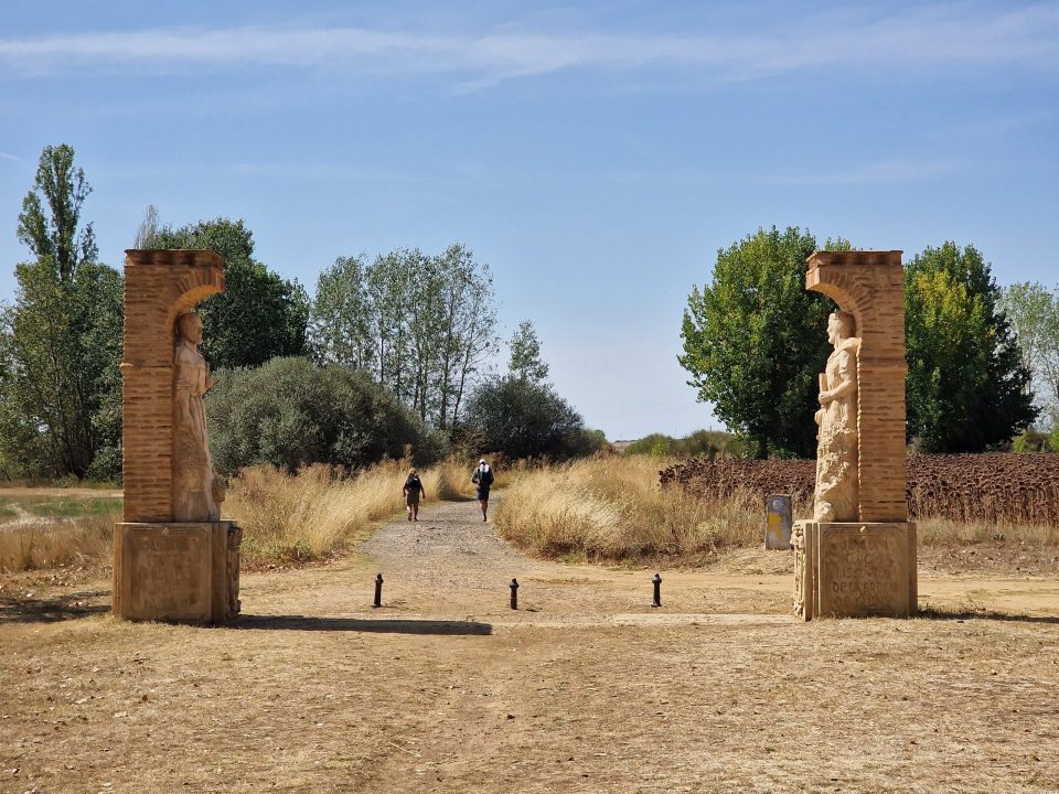
We reached the fork in the road, with signs pointing us along our route, via Calzada del Coto,

supplemented by some extra (and informal) advertising of the facilities along the route, which constituted encouragement for us, as we’d planned a coffee stop in Calzada de Coto.

Very shortly we reached the village, which seemed nice enough,


but which was totally shut.
Bugger.
Nothing for it, then, but to carry on, I suppose, although it would have been possible to cut back to the other route if we’d wanted to.


However, the idea of walking a long stretch of Roman road rather than toiling alongside the bloody N-120 for even more kilometres was appealing. Also, that was the only way of reaching our accommodation for the night, as planned for us by WalkTheCamino.com.
This route dates from the time of the Emperor Trajan, who was Office i/c Roman Empire from 98 to 117. Obviously decadence had set in to the empire at that point as the builders couldn’t be bothered to make it straight, like Roman roads ought to be. Also, there was the small matter of a railway to cross,

which I think caused a bit of a deviation from the original.
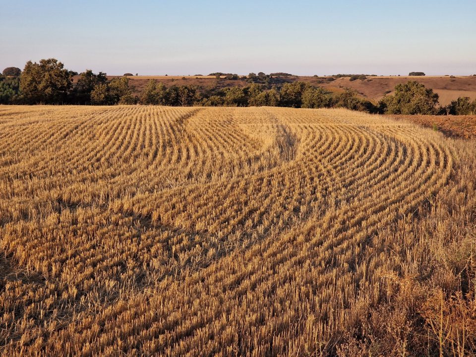
The scenery for a large part of the walk was slightly odd,

with trees dotted at random intervals. We discovered (i.e Jane worked out) that these were Holm Oak trees

when their denisity increased enough for us to get near them.

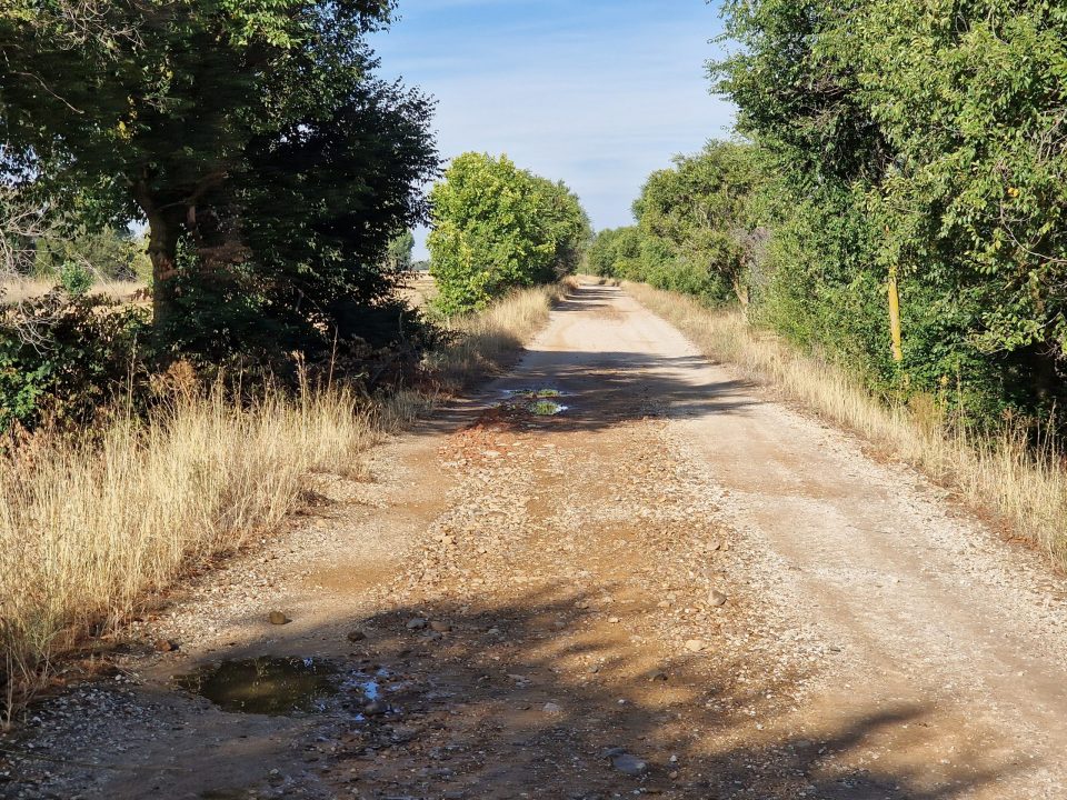
The surface was level enough, but somewhat stony, so one had to pay some attention to where one put one’s feet. Frankly, it would have been easier if we could have ridden rather than walked; but there were no Trajan horses available, so Shanks’s pony it was.
The scenery, as I’ve said, was rather different from what we’d seen before in the Meseta – no wide open spaces featuring the duoculture of cereals and sunflowers. Frankly, you couldn’t have fitted it among the trees.

until we neared Calzadilla, at which point we got bloody sunflowers again

but interestingly with some kind of irrigation system installed, which we’d not noticed anywhere else for sunflowers before.

There were other crops, too – olives and almonds

maize and – christmas trees???

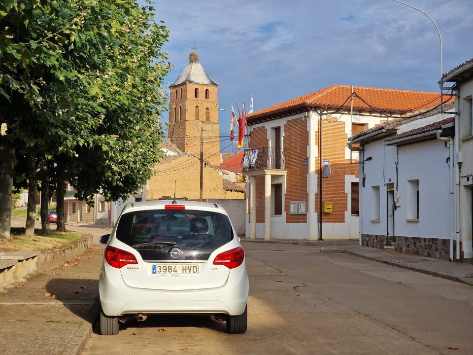
We arrived in Calzadilla

only about three hours after we set out, not too long after 11am. We walked through the town towards our hotel, noting that most of the buildings were, if not modern, then at least not old.

Albergue Municipal
with one or two exceptions.

The Ermita Nuestra Señora de los Dolores
When we reached our hotel, Casa El Cura,

we realised that it, like most of the village, was shut. Check-in was 1400, giving us some three hours to fill, which made us feel a little bit grumpy. We wandered around looking for a bar for some coffee, and ended up right back at our original entry point into the village, at the Albergue Via Trajana, which at least had an “Open” sign on it, even if there were no other signs of life. As it turned out, the lady managing the place was only too happy to provide coffee, OJ (Jane) and beer (me), so we passed a couple of hours there reading the papers and relaxing until it was time to get to the hotel and check in.
Casa El Cura is, we discovered, a delightful place. It was built in the 1980s by the grandparents of Gemma, the front of house, and is imbued with a sense of the (mainly agri)cultural history of the area, with historical photographs and implements used in the care and gathering of crops.

Mules drawing a threshing plate


Gemma gave us some great insights into the history of the place and why it wasn’t like so many other Spanish villages we’d passed, meaning with a selection of ancient, dilapidated and/or disued buildings among the other dwellings. It seems that many of the Calzadilla buildings had colapsed from disuse and newer buildings had replaced them, being holiday homes or houses for each of the children of a family. This contributes to the village’s air of being quite modern but still rather spookily empty. There’s a further illusion at play – there are normally plenty of pilgrims staying at the various accommodations, but one doesn’t see them out and about.
Alongside Gemma at the hotel, Leo does a great job in the kitchen; he produced a splendid late and Nice Lunch for us. Pleasantly and unexpectedly we were joined at the hotel by two German pilgrims, Petra and Tom, whom we had encountered several times before but thought would have been well ahead of us on their Camino, so it was nice to catch up with them. The timing of everything worked out well, allowing us to relax for the rest of the day to gather our energies for the morrow.
Ah, yes: the morrow. Let us move now to Friday September 8 2023.
The immmediate consequence of taking the Trajan road is that it leaves one without any refreshment stop until almost the next destination – Monsilla de las Mulas.

Bottom right is Sahagún, top left is Mansilla, blue dot is Calzadilla.
Our route was pretty much devoid of any pilgrim services (e.g. coffee bars) for over three-quarters of the distance to Mansilla. One option was to cut across, back to the main drag, where the going underfoot would be better and there would be refreshment stops available along the way. That we didn’t, but instead chose to press on through the stony-tracked, coffee-bar-less wilderness of the Trajan road, shows how much the Camino can play with the balance of one’s mind. We decided that taking the Roman road was the thing to do, so, after a sort of picnic breakfast kindly provided by Gemma, off we went,
As the sun rose, it gave us some lovely light as it shone through the clouds which had provided thunder, lightning and rain during the night, which we were extremely glad to have avoided as we walked.


You will have noticed, because you’re paying attention, aren’t you?, that the road we were on seemed rather well-tarmacked for a Roman effort. And so it was, but we were still on the route of the original road, and, after the “shall we, shan’t we?” decision point

we carried on the somewhat stony, but otherwise sound path that we’d followed to reach Calazada the day before. Because there had been a lot of rain, there was a certain amount of slalom necessary to get round the puddles, but otherwise it was fine; we were very glad to have taken this option, coffee bars or none.
That said, it bore a striking resemblance to the other roman roads we’d walked, in that was flat, level and, frankly, somewhat lacking variety. Excitement came in the form of things like the chicane that the devilish road builders had clearly create to spice up the chariot races they used, I’m sure, to run on this stetch of road;

resting places, both official

and unofficial;


enormous watering arrays for the maize crops;


a railway line;


and views of the mountains which, I guess, we will eventually have to cross.

It really is rather flat,
but not uninteresting, as i’ve said before. For the final stretch of the 17km that took us into civilisation we were joined by a Dutch chap, Pascal, who, once he’d caught us up, slowed his pace a little so we could walk and talk; this passed the time agreeably until we reached the village of Reliegos

where there were bodegas

and the chance of a much-needed rest and refreshment. We accidentally stumbled across the second bar in the town, which required us to cross some major roadworks to get into it

but this turned out to be a happy accident, as we were joined by Mike and Molly from Minnesota, pilgrims we’d talked and dined with a couple of days before, and they reported that the first bar was full when they’d reached it.
Refreshment duly imbibed, we headed on towards our destnation, Mansilla de las Mulas. On the way, we noticed some actual farm animals

which were the first we’d seen in Spain – the sheep, cows and horses we’d encountered at the start of the Camino were, of course, in France.
At this point we realised that the team at WalkTheCamino.com had done us a real favour by taking us along the Roman road. As well as the satisfaction of tramping along a chunk of history, they’d spared us from some thirty kilometres of walking beside a main road.

However, now that the sun was up and the day was getting hot, having the systematic shade of the plane trees which had been planted along the roadside track now made the remaining walk into Mansilla that much more pleasant.
Soon enough we were on the outskirts of Mansilla.

We walked though the remains of one of its old gates.

They really didn’t fuck about when they made these walls really quite stout.

En route to our hotel we passed a pilgrim’s cross

and a mural

and walked the streets

past one of the churches

through a somewhat better-preserved gate


to our hotel

which was closed. On the door was a telephone number to call to bring someone to do the check-in thing. This didn’t work and so we spent really quite an unacceptable amount of time waiting for someone to come. Jane went out to search, based on a tip from a hotel resident, and of course someone turned up as soon as Jane had gone off on her quest. It’s really annoying: which part of “answer your bloody phone!” do such organisations not understand?
Anyhoo…
We got into our room, which was actually quite pleasant, and relaxed for a bit – just long enough, it transpired, such that when we went out to get something to eat, all the restaurants were closed, even the ones that Google had promsed were open. We blundered about a bit searching for an eatery or a shop which could sell us something edible. All we discovered was a town square where exceedingly loud music was blaring out amid signs that Something Was Going To Happen

and we eventually found a slightly louche bar

where we got a couple of enormous g&ts, some croquettas and a good laugh at the cabaret of the lass runing the joint telling some dodgy character to sod off and calling the police when he didn’t. We also got into a pilgrim-type chat with an American lady called Joanne, which was fun; and we further had the sense to leave before it became a Rocky Road.
Heading back to the hotel the sense that Something Was Going On was heightened, and, in the shop where we bought some essentials (e.g. milk for the Earl Grey), we found out that the town was having a festival for the weekend, hence the loud music and other bizarre things that could be seen going on around the town.
We left these Young Things to their fun and games to head back to the hotel, where we were able to make a meal out of our purchases and relax for the rest of the day.
Until…
Fireworks. And a parade. Who knows what else, but I captured a bit of video to show you the spirit of the whole thing.
Stats: Over the past two days, Relive reckons that we’ve covered a further 38.4km, so we’re up to 451.6km, or nearly 281miles. Tomorrow sees us finish the crossing of the Meseta as we arrive (all being well) in León, some 19km away. Accuweather is warning of storms and rain overnight, but the hope is that these will clear away by the time we want to leave and hold off until we arrrive in León. Once there, we have a rest day – hurrah! – which might be somewhat beset by showers – boo! We hope that we’ll still be able to do some sightseeing there, but who can tell? Check back in, won’t you, to find out?