
Tuesday 9 August 2022 – If you’ve read yesterday’s installment you’ll know that we reached Heathrow with no problem beyond the usual apprehension that bedevils us in the quiet time before the taxi arrives for major travel. The rest of Phase 1 of the journey – getting out of the UK and into Vancouver – was generally very agreeable and entirely crash-free. The Air Canada plane was, I think, quite new and certainly spiffy, with little touch screens for doing everything: selecting in-flight entertainment, controlling the aircon, configuring the seat.
The choice of in-flight entertainment movies was very impressive. I didn’t count the total offering of films, but I reckon it must have been around 100 – new releases, classics and cult offerings. My normal choice is to for escapist rubbish, typically out of the Marvel stable, but I noticed something that really took my fancy, standing out because it was first in the list due its name – A Hard Day’s Night. I wonder if there’s anyone out there who doesn’t know that this is a Beatles film? It’s not a classic, but the songs in it are classic early Beatles numbers from 1964. The nostalgic sentimentalist urges which lurk embarrassingly close to the surface within me immediately settled on this as the first film to watch.
(The Beatles LP that featured the film’s songs was the first 12″ LP that I ever bought. It was expensive – 32/6d, or £1.63 in modern currency – and I treasured it. Until I gave it away, that is. I think my brother took it off my hands when I decided that I was only interested in classical music, which was in turn before I became a fan of prog rock before turning back to classical music. Musically, I’m just a tart.)
(Another parenthetical note. 32/6d is nearly 97 Mars Bars – they cost 4d in those days if memory serves. Today, a Mars Bar is 65p, meaning that the equivalent cost to me, a 12-year-old was just a whisker under £63. Never let it be said that LPs are expensive these days.)
I actually went to see the original Hard Day’s Night film in the cinema, and, on watching it again, realised how much about it I had forgotten. It’s a Richard Lester musical comedy film, and so its credentials are reasonably good. Although it doesn’t stand up to today’s cinematography in any way, I hugely enjoyed watching it; a wonderful burst of nostalgia, both musically and otherwise as I was reminded of the songs and successfully recognised some peripheral actors in the film whom I wouldn’t have expected to see. I’m particularly proud to have identified a young Robin Ray, who had just a tiny cameo.
Culturally, the rest of the flight was a basket case as I went back to escapist rubbish which seemed mainly to feature Benedict Cumberbatch being American and Strange. I managed to squeeze 3.98 films into the journey, with just the climactic 15 minutes of The Batman unwatched due to the plane having come to a halt outside the Vancouver terminal (see later). Jane tried to persuade me out of the intellectual doldrums of these films to make sure I’d seen some of the scenery as we approached Vancouver. We both had a go at taking photos of the view, which was excellent. But, again, see later.


Jane also got some good shots as we got closer to Vancouver itself.

Once landed, we then needed to get ourselves to the airport hotel, a Fairmont. The process was smooth and largely stress-free. The airport has a plethora of electronic passport gates which worked well, and also allowed us to assert that we were free of the Dreaded Lurgy; there was a final check by a border guard and then all we had to do was to hand over our ArriveCAN receipt and find our bags. There are many, many carousels at Vancouver airport and one has to walk past quite a few before finding a screen telling you where to look. We found our carousel and only had to do a few minutes of The Carousel Stare Thing before Jane’s bag came out. Having invested in baggage trackers, I was a bit concerned about where my tracker was telling me it was, which was still at Heathrow. However, it turned out that it was teasing me, as the bag turned up just a couple of minutes later.
Finding the hotel was a process which had a promising start, as there were signs, but the navigation grew a bit more challenging as we debouched into a huge arrivals terminal now devoid of any hotel-related guidance. We (i.e. Jane – I have my male pride to think of, here) asked someone and were pointed in the right direction which turned out to be up another level at the other end of the not minuscule terminal building – another non-trivial walk for my poor backpack-oppressed shoulders – and were soon checking in. Easy as it was, the process carried with it one disappointment, albeit a relatively minor one. Fairmont is part of the Accor hotel group, and, for reasons lost in the mists of time, I have a loyalty membership; since the vast majority of the hotels on our holiday are Fairmonts, I’d fondly imagined building up a huge reservoir of loyalty points as we went. This turned out to be illusory as the nice check-in chap told us that you need to book the hotels as an individual to accrue points. Since all ours were travel agent bookings, these didn’t count. Sigh . Still, we got free WiFi, so it’s not an entirely lost cause.
From then on, the day proceeded exactly in line with my previous experiences of air travel to west-coast America: feeling a little tired and a little hungry despite being fed twice on the plane; heading to the bar for a snack and a drink;
View this post on Instagram
after said drink and snack at the bar – a good one, incidentally – suddenly feeling very tired; going to bed earlyish and falling asleep immediately; waking up at 3am and finding it difficult to get back to sleep.
However, we both managed to get a reasonable quantity of sleep in a very comfortable and well-organised room. We took breakfast in the hotel. It was table service only, so no browsing of the buffet for healthy items, and food choices that were rather too complex for my jetlag-ravaged brain. In the end, we had a good, substantial breakfast before heading off to hand our bags over to the tender mercies of the international baggage transfer system.
Air Canada recommended we get checked in some three hours before the flight to Anchorage, so we were in plenty of time at a very quiet check-in area. Bag deposit was easy, if conducted through more checkpoints than I’m used to, and we eventually found the Maple Leaf lounge in the terminal building. At this point, we realised we’d made a tactical error, in that we could have had a perfectly decent breakfast in the airport lounge and saved ourselves the $100 that breakfast had cost us. Reading my brother’s blog of his Canadian odyssey had set my expectations that things in Canada were expensive. The reality still stings a bit, though.
And finally, the North! To Alaska! part of the journey was a really pleasurable, nay unique, experience. We were cordially greeted by the cabin steward, a very agreeable chap called Hugh Chetwynd, who did a superb job of swift and efficient service for all his (#smug) business class customers whilst keeping up an engaging stream of cheerful conversation. One nugget he vouchsafed as we were awaiting departure was that the view during the trip should be excellent, as they were expecting clear conditions and flying up along the west coast. Rather delightfully, there was a spare window seat available on the other side of the plane, so I moved from my usual aisle seat and both Jane and I were able to get the benefit, and got some great photos from each side of the plane.
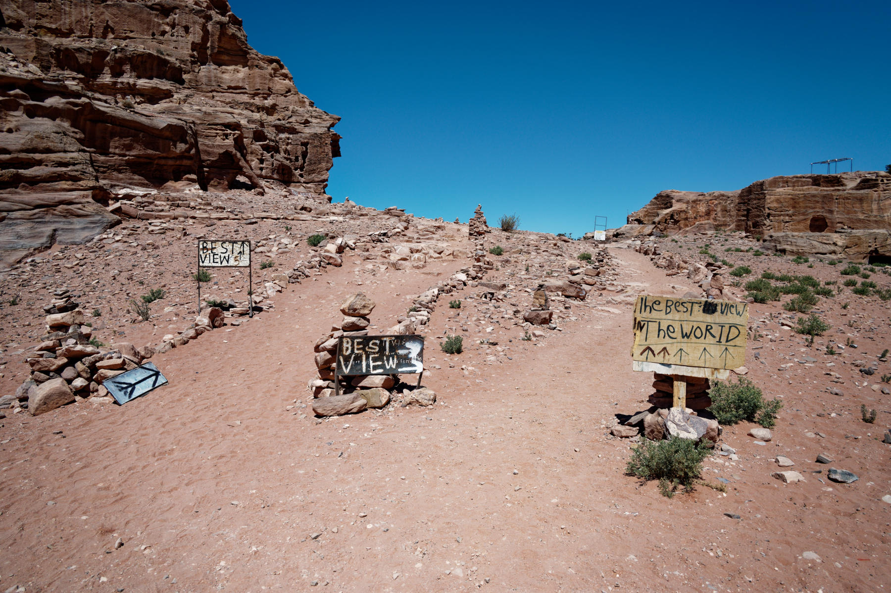
The view was sensational! When we were in Jordan, a tea stop above Petra advertised itself as having the best view in the world, but, frankly, what we saw knocked that into a cocked hat. Here’s a taster.
I don’t believe I’ve ever been been fortunate enough to take as many worthwhile photos as I managed on this flight, all the way from Vancouver to Juneau, before the weather closed in and clouds obscured the view.

Whilst I was busy taking photos from one side of the plane, Jane was equally busy on the other side, so we have a vast number of excellent images. I won’t bore you with the photos here, but you can see them in this separate post, which is a treasure trove for anyone who is interested in aerial photos of lakes and mountains.
Excellent service, wonderful aerial photos and free no-extra-charge gin & tonic – what a heady combination!
Once the clouds obscured the view, since the same films were on offer today as on yesterday’s flight, I was then free to catch up on the final 2% of the film I had failed to watch to the end – The Batman. It was very much in line with the rest of the film – too dark to see what was happening most of the time, lines muttered in voices too hoarse to understand what was going on and plotted in such a manner that the first two drawbacks made the whole thing an incomprehensible mess. But I’d nothing better to do and nowhere else to go, so I got a sort of grim sense of closure out of wasting those extra few minutes of my life.
When we arrived at Anchorage it became apparent that the passport check that we’d undergone in Vancouver represented the international border with the USA, because we simply walked out to the baggage carousels with no further checks. It took a few minutes for the bags to arrive which we spent in amiable travel bragging with a couple who had been seated behind us in the plane; they were very obviously very well-travelled and we are polite people, so we let them win; the upside is that we got a couple of excellent tips for when we travel to the antipodes.
Whilst we were awaiting our bags, the driver who had been booked to take us into town joined us by the carousel and so once we’d picked them up we were swiftly off for the 15-minute drive to the Hilton Anchorage hotel, which will be our home for the next two nights. The weather was cool – just about 13°C, and slightly drizzly – but we’re optimistic that it will be dry tomorrow.
Our most important task is to arrange for pre-cruise Covid tests, theoretically available just down the road from the hotel. Our cruise line, Silversea, runs (at least on paper) a desk in the hotel lobby and so we hope to get firm guidance about testing there. Once tested, we hope to take a trolleybus tour of Anchorage to get some kind of idea about the place. That will be the subject of tomorrow’s entry, so do please come back and join me there.


