Wednesday 7 September 2022 – Today’s main adventure (booked ages ago as we thought it might otherwise not be available) was to visit the nearby Moraine Lake at sunrise. One of the (many) reasons I’m not a better landscape photographer than I am is my reluctance to inconvenience myself greatly, e.g. getting up in the middle of the sodding night just to get a photo. However, having heard that the Moraine Lake thing is A Thing, and having seen wonderful images such as this one as an incentive
 (image credit: Cat & Joe, https://www.walkmyworld.com/posts/moraine-lake-sunrise-vs-sunset)
and bearing in mind that I would be in the immediate environs, I decided that we should invest time and money in this. Oh, yes, it wasn’t free, you know; it’s so popular that the car park is full even before 5am when they close the car park to stop vehicular chaos; so the hotel organise a shuttle bus to take you over and bring you back, with a breakfast voucher thrown in, at a mere CAD90 per head. And we would have to get up at 0500 to be on that shuttle.
We made it to the shuttle and, once at Moraine Lake, headed for the Rockpile, which is a popular site for taking photos – not the best, but we weren’t in a position to spend time researching where we should rather be. It’s a good morning workout to get to the top of the Rockpile, where my dream of getting some decent elbow room to set up a tripod in peace and quiet were subject to a rude awakening.


A measured, carefully set-up photograph was clearly not going to be an option; but actually it seemed that a handheld operation would be fine; we even managed to get a spot where we could stand without upsetting anyone else. The trouble here is the same as everywhere scenic we’ve been thus far – the bloody trees get in the way. This was my initial, pre-sunrise, image.

Now, compare that carefully with the one from Cat and Joe, and you can see (a) what I mean about the bloody trees and (b) why I was not exactly overjoyed with the prospects for the morning. There was a stiff breeze which ruffled the surface of the lake, so reflections were not going to be a part of the final image; and the visibility was merely OK; not the sort of clarity one would like for having got up at such a horrid hour.
However, there we were, and the bus to take us back wasn’t going to be there for over an hour, so there we stayed. I tried various angles to improve the composition of the image. Nope. I possessed my soul in patience, hoping for the breeze to drop. Nope.
I’d like to say that eventually the sun hit the distant mountains. But it didn’t. It landed on them with a gentle but distinctly soggy thud

and thereafter hardly made any bleeding effort to improve my day. This was the best image I can manage, and that’s with all of the clarifying and beautifying powers of software at my immediate disposal.

Not bad, I suppose, but not worth getting up at five o’ bleeding clock in the bleeding morning for, frankly. We had a diversion in the form of a visit from a Steller’s Jay, of which neither Jane nor I managed to get a really satisfactory image


and then it was time to stumble down the path to catch the bus back to the hotel. Where the early morning image captured from our bedroom window was, frankly, vastly better.

Our consolation was a splendidly unhealthy breakfast at the hotel, and our penance for the dietary lapse of that breakfast was to take ourselves off for a walk around the other, southern side of Lake Louise. A suspiciously enthusiastic chap behind the concierge desk had recommended the short hike to the Fairview Lookout – about 45 minutes, he said. this is Google Maps’s rather amusing understanding of the route.

Not quite sure if this is a remarkable standing broad jump across the lake, or whether Google’s assessment of my ability to walk on water exceeds even my own.
The concierge warned us that it was quite steep. He was right. Bloody hell, it was steep.

I realise that conveying steepness is not easy in a photo, so let me try a different vehicle.

I hope this conveys the message. The trail is less than a mile long, but in half of that distance, it climbs 500 feet in a single, relentless gradient. That’s one in five, or in technical terms as used by 70 year old Walkers, “Fucking Steep”. However, we made it to the top, passing several groups of younger people who had stopped “to check that they were on the right path”; yes, for a rest, actually. As we passed them, I muttered through gritted teeth, “I bloody hope this is worth it”, which tended to lift their spirits a bit. Yes, it did.
And it was worth it.

Although, it has to be said, there was a message in the wider photo I took from the same spot.

The message was of reducing visibility and the prospect of indifferent weather. See later.
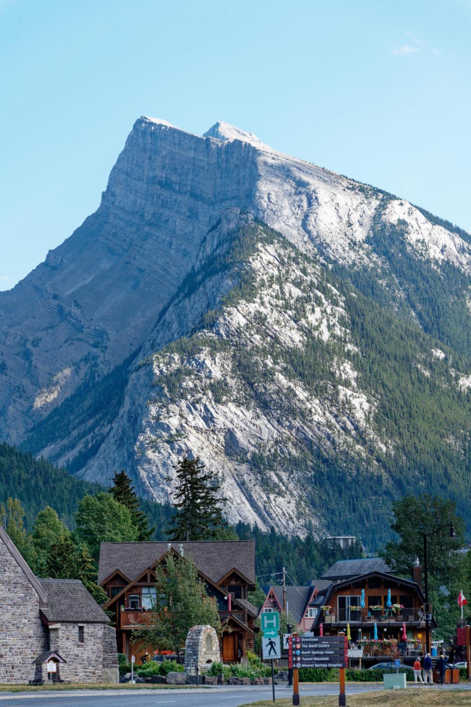
We stumbled smugly down the hill back to the hotel and looked back to where we could just see the Lookout among the trees in the hillside.

Here it is in the context of the whole hill; you can just about make it out if you look carefully.

We then embarked in the third task of the day – to ride the Lake Louise Gondola, used during the winter to transport skiers and during the summer

for sightseeing – the Summer Gondola. The hotel is a shuttle bus ride from the gondola and we caught the 11.40 shuttle, which got us to the gondola at about midday. On arrival, we chatted to the chap who was in charge of booking return shuttle rides; he told us that people spent an hour or an hour and a half at the top normally; so we booked a return at 2.10, went in and bought tickets for the gondola and headed out to ride up.
A few drops of rain were coming down at this point. And there was a bit of a breeze. One has the option of either riding an open chair or a closed gondola cage. We took the cage option, just encased.
On the way up, we saw a couple of mule deer

and began to realise the extent of the poor visibility that was bedevilling our sightseeing efforts. In theory, you can see Lake Louise and our hotel from the lift. In practice

it was a challenge. The conditions were so challenging that even my beloved PhotoLab software is defeated.

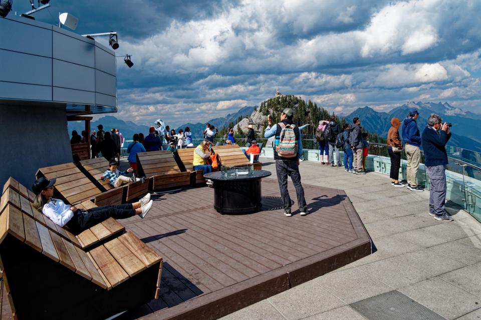
We got to the top, which was now being lashed by a fairly stiff wind, and headed for the observation deck. Jane got this photo

with its lovely play of light (but crap visibility) and I got this

to illustrate the stark chasm between what we might have been able to see in good conditions and what was actually on offer.
At this point it started raining so we decided to head back down again – in a closed cage – and try for an early shuttle bus back to the hotel. In that, we succeeded, but not before the chap with whom we’d booked the return shuttle – and who permitted us to ride an earlier one back – spent an unconscionable amount of time chatting to the driver of the shuttle whilst we waited – patiently, of course – for the driver to open the bloody doors to let us in from the rain.

I’m not normally one to moan about the cost of things, but it has to be said that we’d spent around two hundred quid to fail to get decent views. Of course one has no right to expect perfection and one has no control over the weather, but that doesn’t mean I don’t feel aggrieved.
So, we got an afternoon off, which at least enabled me to catch up with the blog. Having tried and failed to book somewhere for dinner in the hotel (it’s full and everything gets booked up) we wandered back into the Lakeview Lounge at about 4pm, when it was simply first come, first served; no reservation needed. We had a great lunch and, because we were sitting outside on the patio (under space heaters, I should add), were entertained by a couple of chipmunks who were scampering about looking for food. I can proudly announce that I now have a photo of a chipmunk eating a chip.

We leave the hotel tomorrow and head for Jasper up a section of road called the Icefield Parkway, reportedly one of the 10 best scenic drives in the world. The anticipation we feel for this is tempered by knowledge of what may well have been responsible for the poor visibility today, and even the rain, which was not in anyone’s forecast for the day:
 (image credit: Jasper National Park Facebook Page, https://www.facebook.com/JasperNP)
huge wildfires near Jasper. At this stage (9pm Wednesday evening), the Parkway is open and our hotel in Jasper (another Fairmont) has its own generator, so isn’t affected by the power outages that are plaguing the area. As things stand, we can go ahead with our current itinerary. Tomorrow, who knows? Check back in and find out!


