Wednesday 20 September 2023 – We hadn’t too many kilometres to cover today (just the vertical metres in the ascent which I’ve already expatiated on), and the weather forecast showed no meteorological threats, so we didn’t feel the need to rush out. If you’re in a rush, you can view the usual summary of the route and the photos on the Relive video rather than enduring my commentary below.
We departed Ambasmestas at about 0830,

in cool weather with a lot of mist in the hills we were headed for. At first we walked on the road, which led gently upwards past allotments and other crops, such as this quince orchard

and the first village was Vega de Valcarce,

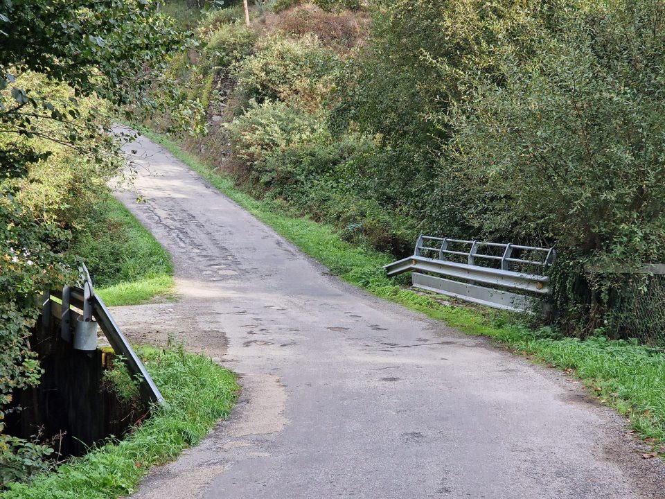
a town somewhat larger than Ambasmestas and with sophisticated touches of civilisation, such as a pharmacy and ATMs. We didn’t stop, but carried on along the road, which carried indications that conditions might not always be benign in these here parts.

Our first stop was at the next village, Las Herrerías,


where we had a quick coffee. Soon afterwards, the road steepened noticeably,

and the Camino route left the road for a track which was steep and stony,

sometimes muddy, and in many places covered in an inconvenient amount of horseshit.

Presumably the horses saw the gradient and crapped themselves. The amount of manure diminished as we ascended, I guess because more and more of the horses using this track were running on empty as they got higher.
We had a welcome break at the next village, La Faba, in a somewhat idiosyncratic albergue-cum-bar.
We pressed on, up the steep track

View up

View back
and passed our first palloza, a traditional style of construction

in this case used only for animals, but – as we shall see later – also built as combined dwellings for humans and shelter for animals.
As you’d expect from climbing up the side of a hill, the views were pretty respectable.


We soon crossed from the province of Castilla y León into Galicia.

and very shortly found ourselves at the outskirts of O Cebreiro, the name of which had been swirling around in my head to the chorus tune of the rugby song version of “John Brown’s Body”. The rugby song is “Oh, Sir Jasper, do not touch me”, sung to the tune of “Glory, glory hallelujah”, and I was getting “O Cebreiro” instead of “Oh, Sir Jasper”. Such is the intellectual level my mind achieves when faced with a steep uphill trek.
O Cebreiro is a sort of living museum
consisting of buildings in the traditional style, including some pallozas. Most of the palloza constructions, one of which was attached to our hotel,

are locked and shuttered, with no public access. One of them, though (top left in the above gallery) is set up as an exhibition space


with someone there to explain which was the space where the animals would live (now a handicraft exhibition area) and, where the kitchen was, and so forth. The leaflet accompanying this palloza describes the style as Celtic, which is a bit of a puzzle for me; yes, there are strong Celtic links in Galicia, but the nearest that Great Britain gets to palloza buildings are iron-age round houses.
An important building in O Cebreiro is the Sanctuary


where a daily mass is held, and outside which is a bust of one Don Elías Valiña Sampedro (1929-1989).

He was the pastor of O Cebreiro until his death and was almost single-handedly responsible for the revival of the Camino as a pilgrimage route, organising the clearing of parts of the route that had become impassable and instigating the system of yellow painted arrows that guide pilgrims at critical points along the way; an important man in the Camino world.
We had a very engaging lunch in the O Cebreiro restaurant, which involved tasting the local hooch

in the company of some boisterous Italians. Afterwards we found that the rather misty weather had improved to the point where I could use my drone to take some aerial pictures.


The Sanctuary
Today’s stats, then. I think Relive added some unnecessary wanderings in its recording, so I’m taking Jane’s MapMyRun figure of 14.3km as the distance we covered today, giving us a total of 642.5km – half a mile short of 400 miles in total. Garmin credits us with a total ascent of 817m, which includes some going up having gone down a bit; we started at 609m and finished at 1300m above sea level. My knee gave me no trouble at all, I’m glad to say.
The weather outlook tomorrow is rather uncertain. We’ll probably get wet at some stage. We also have to descend quite sharply, back down some 700m, as we head to Triacastela, about 21km away. Here’s hoping that the way down is less horrific than the ghastly Molinaseca approach we suffered a few days ago. I will, of course, report back, so please return to find out how it went.


Love the explanation for the amounts of horse manure!